NDGenWeb Project

County Map

County List

Archives

Research Helps

Census Resources

History Resources

Surname Resources

Cemetery Resources

Marriage Resources

Genealogical & Historical Societies

Map Resources

Queries

State Mailing List

Coordinators' Page

North Dakota counties in 1910


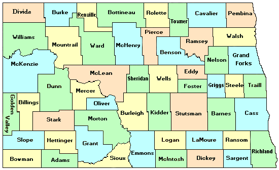
This first map below shows the current counties in North Dakota -- all color-coded.
current ND counties


This map shows the counties that existed in 1910 and their boundaries. Current counties are still in the background by colors.
1910 ND counties


The Hammonds 1910 Atlas -- North Dakota was used as a guideline for creating this map.


Return to NDGenWeb Project

USGenWeb Project